This study explores how Geographic Information Systems (GIS) can be enhanced through the integration of big data, data science, and machine learning techniques. It highlights the role of data-driven approaches in overcoming the limitations of traditional GIS methods.This provides new dimensions to spatial data analysis. The study focuses on the utilization of machine learning and deep learning techniques for processing and analyzing big data obtained from various sources such as satellite imagery, sensors, and social media. Application areas such as urban planning, disaster management, environmental monitoring, and transportation analysis are discussed as examples. Additionally, the study examines the advantages of integrating augmented reality (AR), real-time data analytics, and cloud-based solutions to GIS. These technologies are shown to have significant potential in areas such as city planning, traffic management, and monitoring environmental changes. The importance of data visualization tools and techniques in facilitating the interpretation of spatial data and supporting decision-making processes is emphasized. Finally, the study addresses existing challenges, including data quality, integration issues, and high computational costs, while discussing future trends such as AI-powered models and cloud-based solutions.
Data-Driven Analytical Techniques in Geographic Information Systems
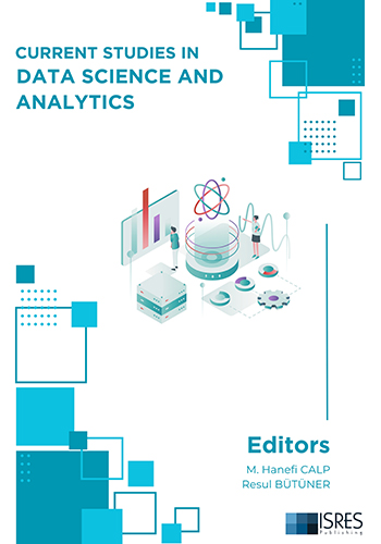
Current Studies in Data Science and Analytics
Editors: M. Hanefi CALP, Resul BÜTÜNER
967
Data-Driven Analytical Techniques in Geographic Information Systems
Chapter Authors: Murat KILINÇ
Pages: 1-19
Other Chapters
Data-Driven Analytical Techniques in Geographic Information Systems
Murat KILINÇ
More Info Pages: 1-19
The New Role of Teachers in the Age of Web 3.0: Personalized Learning Environments through Learning Analytics
Hüseyin ULUKUZ
More Info Pages: 20-27
Pioneering Data-Driven Decisions: The Future of Predictive Modeling in Data Science
Kartal DERİN
More Info Pages: 28-37
An Overview of Social Network Analysis: Metrics, Tools and Applications
Akça Okan YÜKSEL
More Info Pages: 38-56
Data Science Applications in Games
Murat ATASOY, Adil YILDIZ, Lokman ŞILBIR, Ekrem BAHÇEKAPILI
More Info Pages: 57-85
Artificial Intelligence-Powered Data Analytics against Botnet Attacks: Threat Detection and Ethical Considerations
Ramazan KOCAOĞLU
More Info Pages: 86-96
Cyber Threat Analytics in Data Science: Intrusion Detection And Prevention Systems
Özgür TONKAL
More Info Pages: 97-108
Navigating the Data Science Landscape: Essential Competencies
Mehmet KOKOÇ
More Info Pages: 109-123
Analysis of IoT Security Datasets
Erdal ÖZDOĞAN, Onur CERAN
More Info Pages: 124-143
The Importance of Dashboard in Data Analysis: An Application Example
M. Hanefi CALP, Resul BÜTÜNER
More Info Pages: 144-155
Budapest/Hungary Conferences - August 28-31, 2025
We are pleased to invite you to ISRES conferences, which will be held at Obuda University/Budapest/Hungary on August, 28-31, 2025. The following conferences will be held in Budapest/Hungary:...
15.01.2025
Trabzon/Türkiye Conferences - May 01-04, 2025
ISRES Spring Conferences - Trabzon/Turkiye SOCIAL SCIENCES – May 1-4, 2025, Trabzon, Türkiye * 5th International Conference on Social Science Studies - IConSoS2025 ...
11.12.2024
Peja/Kosovo Conferences - July 10-13, 2025
We are pleased to invite you to our conferences, which will be held at University of Peja Haxhi Zeka on July, 10-13, 2025. The following conferences will be held in Peja/Kosovo: - 7th Internat...
28.11.2024






_Sayfa_001_23-12-2025.jpg)











 (1)_16-12-2024.jpg)


_29-12-2024.jpg)
 (1)_01-01-2025_10-03-2025.jpg)

_01-01-2025.jpg)
